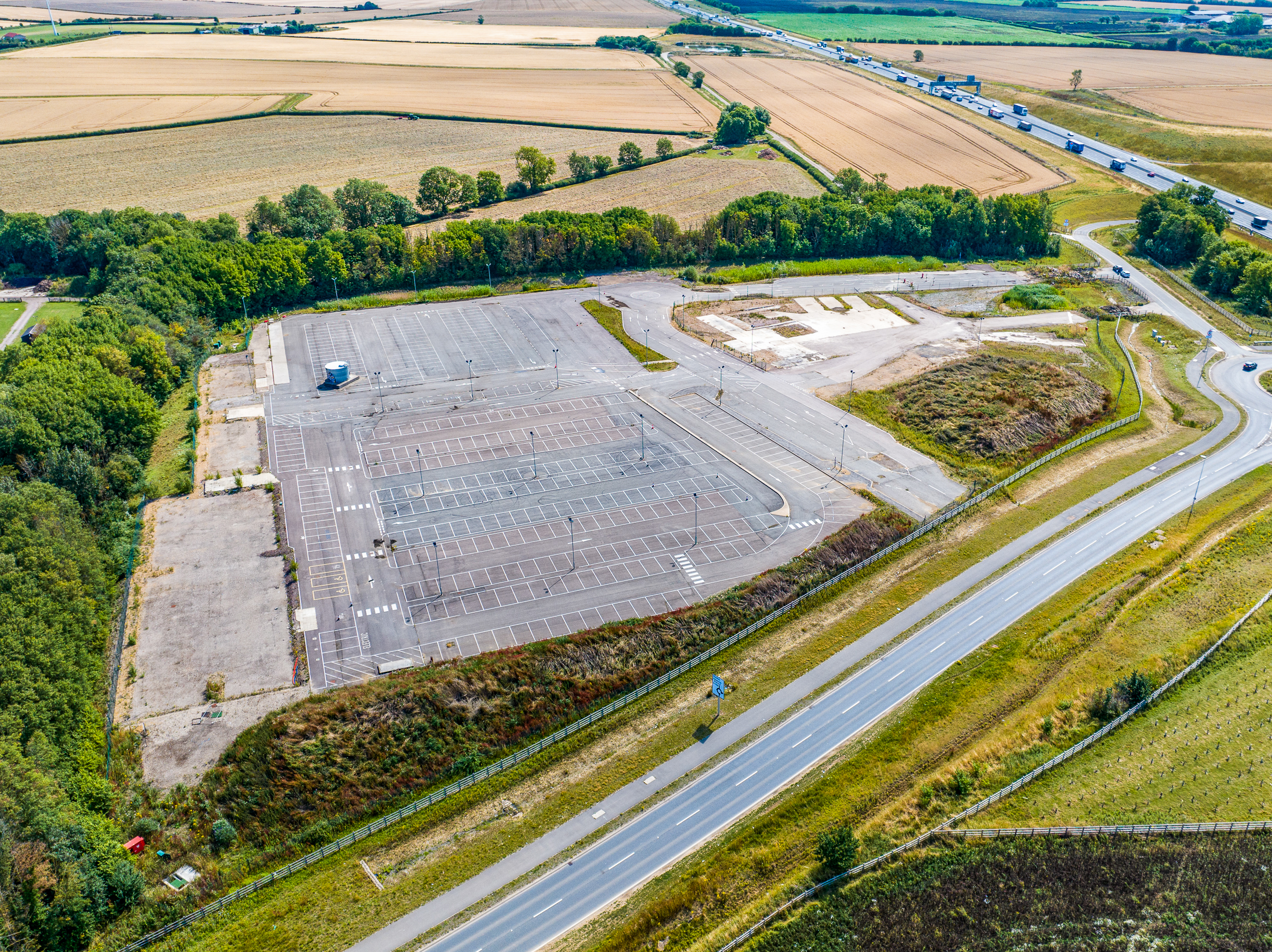
Commercial Real Estate Development Mapping
Service: Detailed aerial surveys and 3D modeling for site analysis and project planning. Use Case: Real estate developers utilize our drone mapping to assess potential properties, plan infrastructure layouts, and monitor construction progress, ensuring projects meet design specifications and regulatory compliance.
Agricultural Land and Crop Management
Service: Multispectral crop health analysis and precision field mapping for optimized farm management. Use Case: Farmers and agronomists use our services to improve yield predictions, manage resources more effectively, and execute precision farming practices, leading to increased productivity and sustainability.

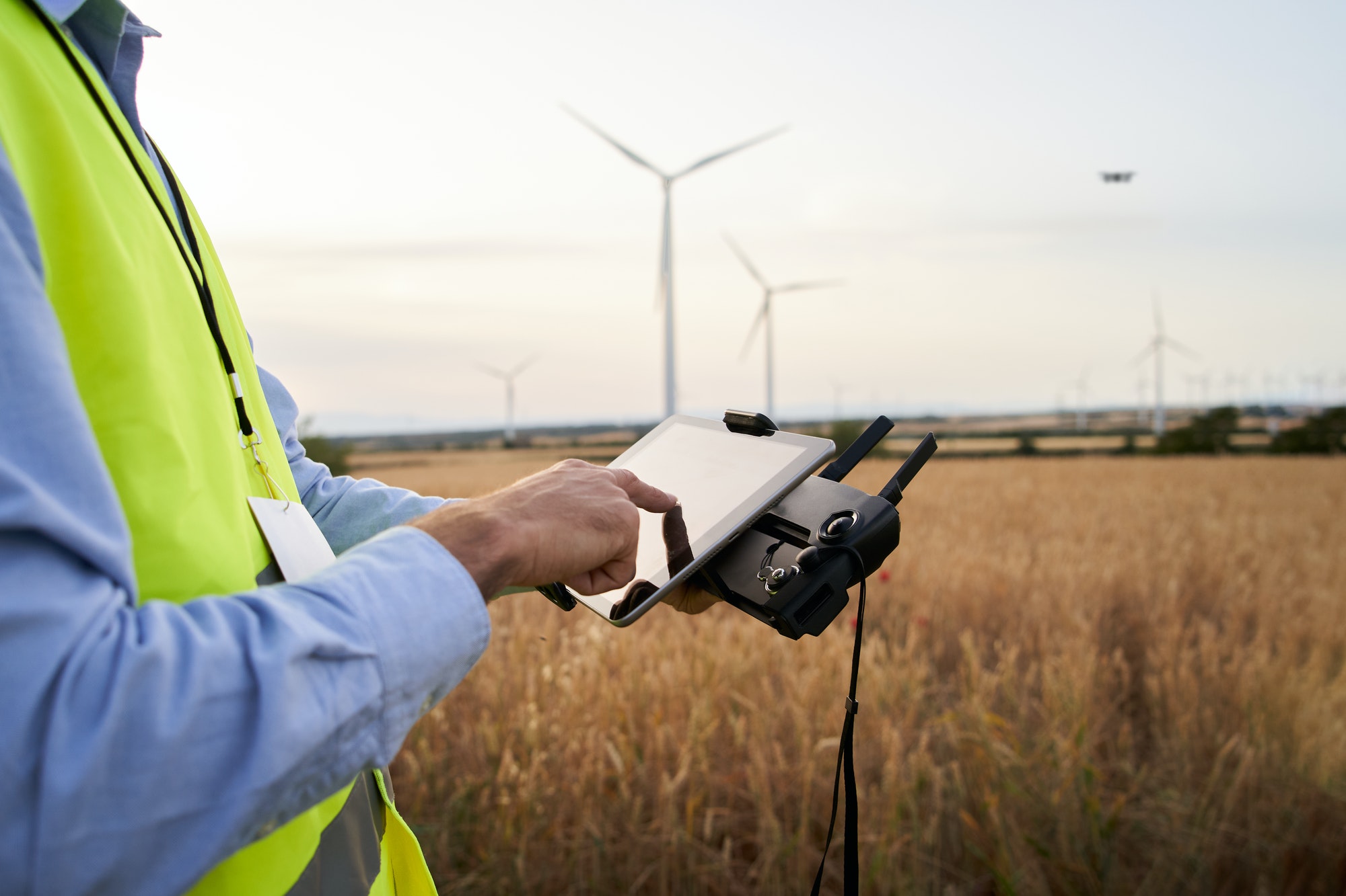
Renewable Energy Infrastructure Planning
Service: High-resolution mapping for optimal placement of solar panels and wind turbines, and routine infrastructure inspections. Use Case: Energy companies leverage our drone mapping to strategically plan renewable energy sites, conduct maintenance inspections, and enhance energy production efficiency.
Environmental Conservation Efforts
Service: Ecosystem monitoring and geographic mapping to support conservation and biodiversity efforts. Use Case: Conservation organizations and researchers rely on our detailed aerial mapping to track environmental changes, assess the health of natural habitats, and plan conservation initiatives effectively.